

01 · Explore
Find the roads worth driving
Every road in the UK and Ireland, scored on how good it is to drive. The best light up wherever you look, from Highland passes to the lane behind the village.
Roads worth driving · UK and Ireland
Find the good roads, and the drives that link them.
The best driving roads in the UK and Ireland on one map, drives to follow from people who know them, and a planner for your own.
Get an early inviteWhat you can do
01 · Explore
Every road in the UK and Ireland, scored on how good it is to drive. The best light up wherever you look, from Highland passes to the lane behind the village.
02 · Drives
Drives planned by people who know the roads, with every stop, every bend and the story of the day. Open one on your phone and go.
03 · Plan
Drop a few stops and we'll find the good roads between them. Or describe the day you're after, and we'll plan a drive made to measure.
Planning's by invite while we're new.
The idea
Starting at home: the UK and Ireland
The top of The Struggle
3.2 miles from Ambleside1,490 ftThe highest pass in the Lake District you can drive.
Plan
Most route planners want the fastest way. This one wants the best one: the roads you'd pick if you knew them, and the stops that make the day.
Finding the roads…
6.5 miles longer, 14% less on A-roads, 33 more bends, 217 ft more climbing.
The Lakes loop
Moremi
Driving–
Bends–
Climb–
Highest–
Steepest–
Two stops, and the instruments come alive.
Twistiest on Honister Pass, where the hatching's thickest.
Route settingsTouring · Car
DoneRoads to look for
Gentle and scenic: steady roads, no surprises.
What you're driving
Road book
3.2 mi · 4m
Kirkstone Road, The Struggle, A592 Kirkstone Pass
6.0 mi · 9m
A592 Kirkstone Pass
16.1 mi · 20m
A592, A5091, A66
+3
9.1 mi · 17m
B5289 Honister Pass
+1
4.3 mi · 5m
B5289 Honister Pass
22.2 mi · 31m
Newlands Pass, Newlands Hause, A591
+10
3.6 mi · 6m
A591
+2
01
Mark where you'll start on the map, then where you're going. Or search for a place, or start from right where you are.
02
Pencil lines become roads you'd actually want to drive, inked in as they're found, while the miles, the time and the bends roll up.
03
Touring, Spirited or Back roads. Turn the dial and the drive changes with it, then tells you how.
04
A car, a classic, a bike or a caravan in tow. Width, height and weight limits come with it, and a caravan keeps to steadier roads.
05
Every junction that matters, drawn the way a rally navigator draws it, with the road it joins and where the signs point.
06
How much it climbs, how steep it gets and where it twists, on a strip you can scrub along. Then press play and fly it.
Ask
Tell us where you're starting, how long you've got and who's in the passenger seat. We know the roads, the views and the good lunch stops, and every route we suggest is checked against real roads before you see it.
Saturday from Cheltenham. Two hours, twisty but nothing silly, Mum's coming. Somewhere good for lunch.
Plan my driveExampleMade to measure
39.2 mi · 1h 26m driving · 2,034 ft climbed · from Cheltenham
| Miles | Stop, and why |
|---|---|
| 17.4 | Rodborough CommonBig skies over the valleys. Worth pulling in for. |
| 19.1 | The Old LodgeLunch, as asked. Book ahead at weekends. |
| 21.1 | The W, NailsworthTight hairpins. Take them gently with a passenger. |
| 28.8 | PainswickHome through the Queen of the Cotswolds. |
Then it opens in the planner: add a stop, turn the dial or drag a road.
The steep bit
34.3 miles from Ambleside1,168 ft25% down to Buttermere. Low gear, slate everywhere.
Remember
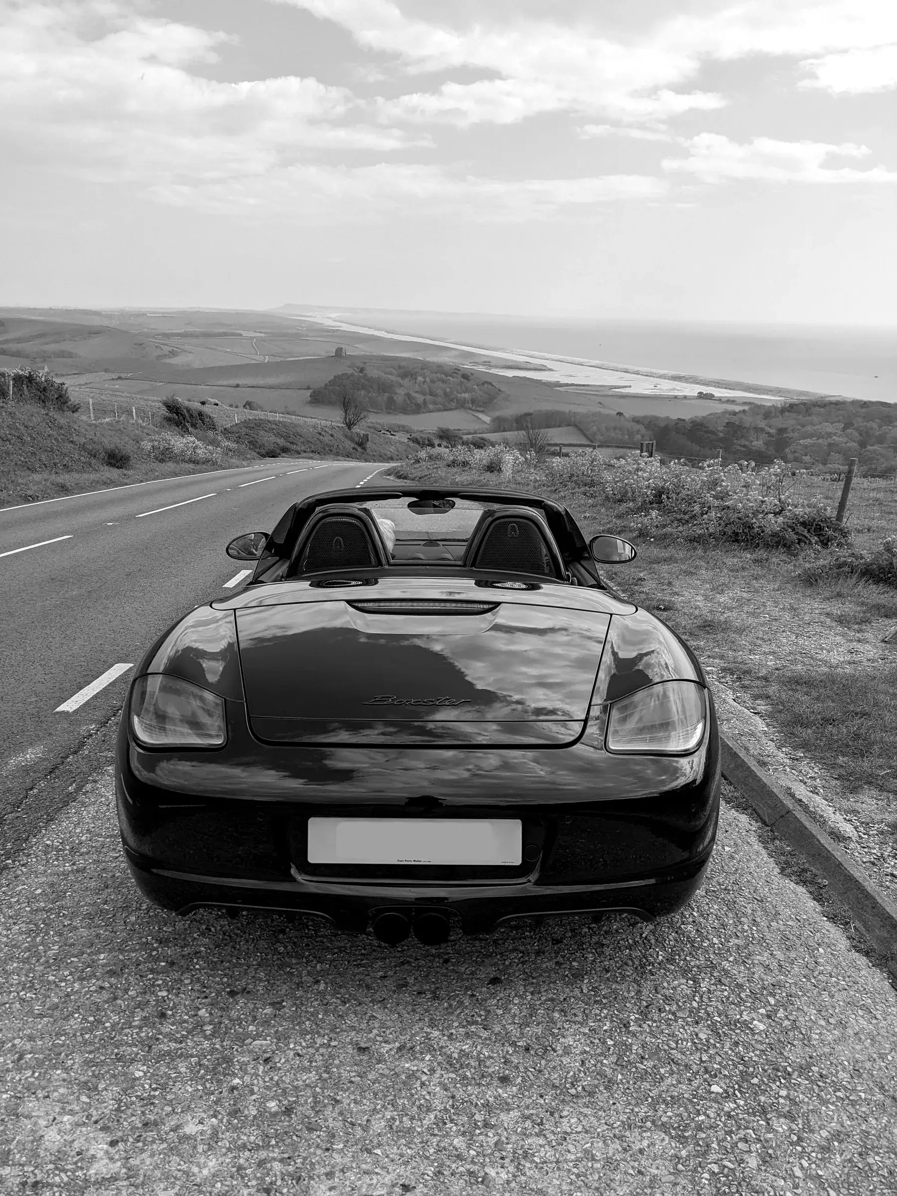
Write it up, pin your photos where you took them, and your drive becomes someone else's next weekend. GT1's Jurassic Coast write-up runs to a thousand words, with the best layby for the view, the ferry and where to stop for dinner.
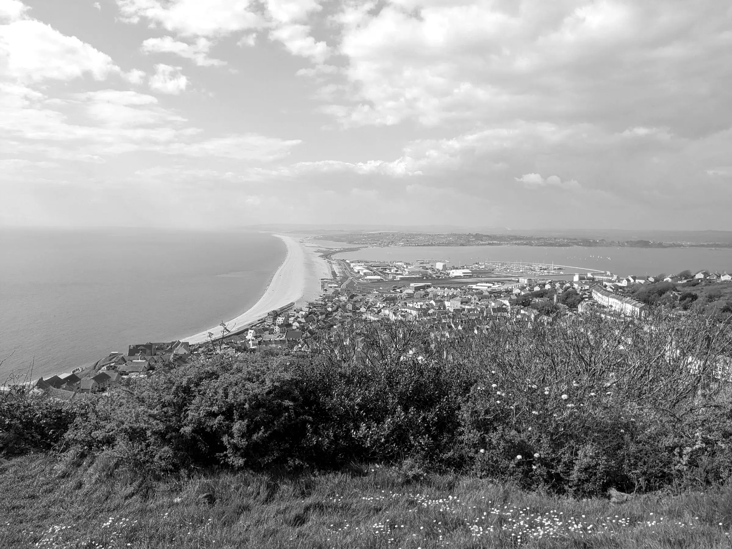
Chesil Beach50.669° N · 48.9 mi
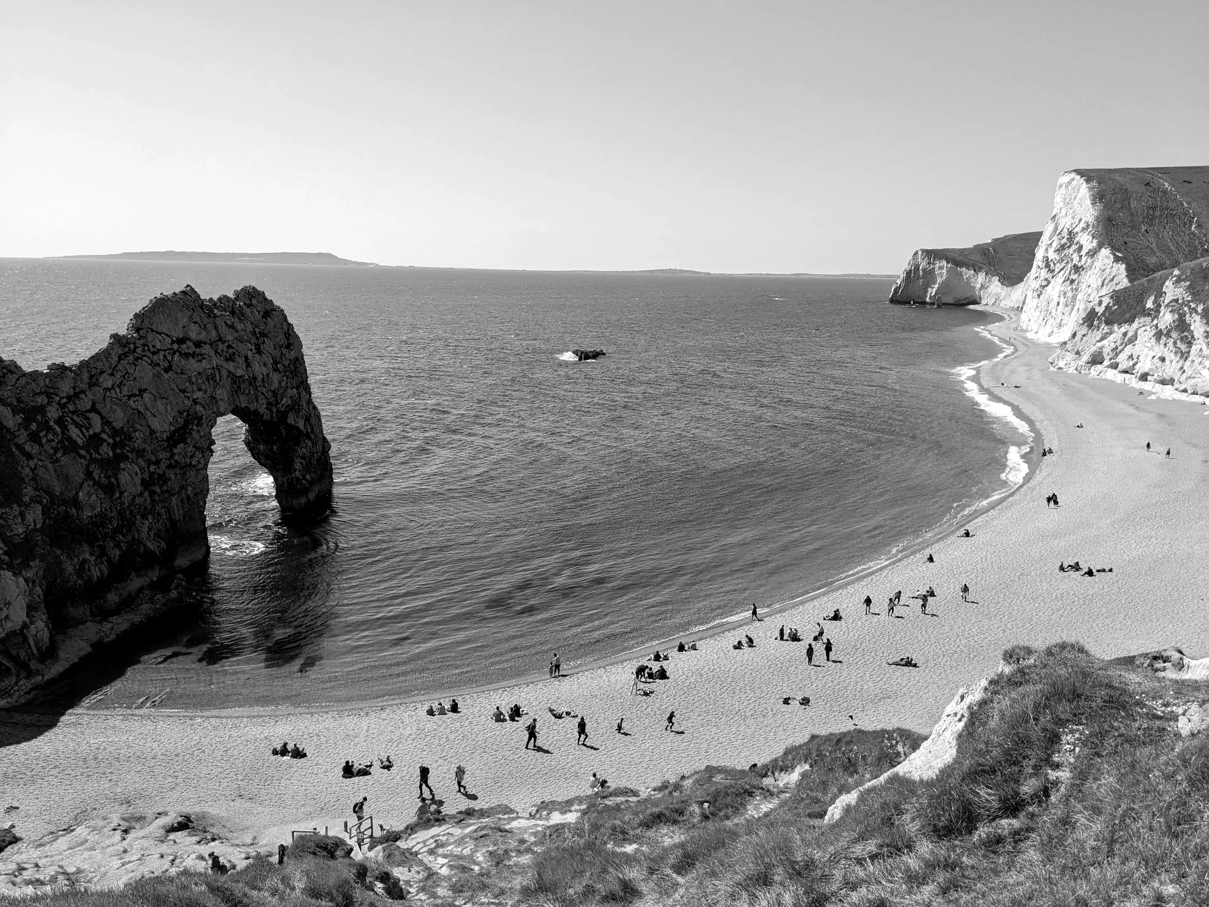
Durdle Door50.619° N · 83.5 mi
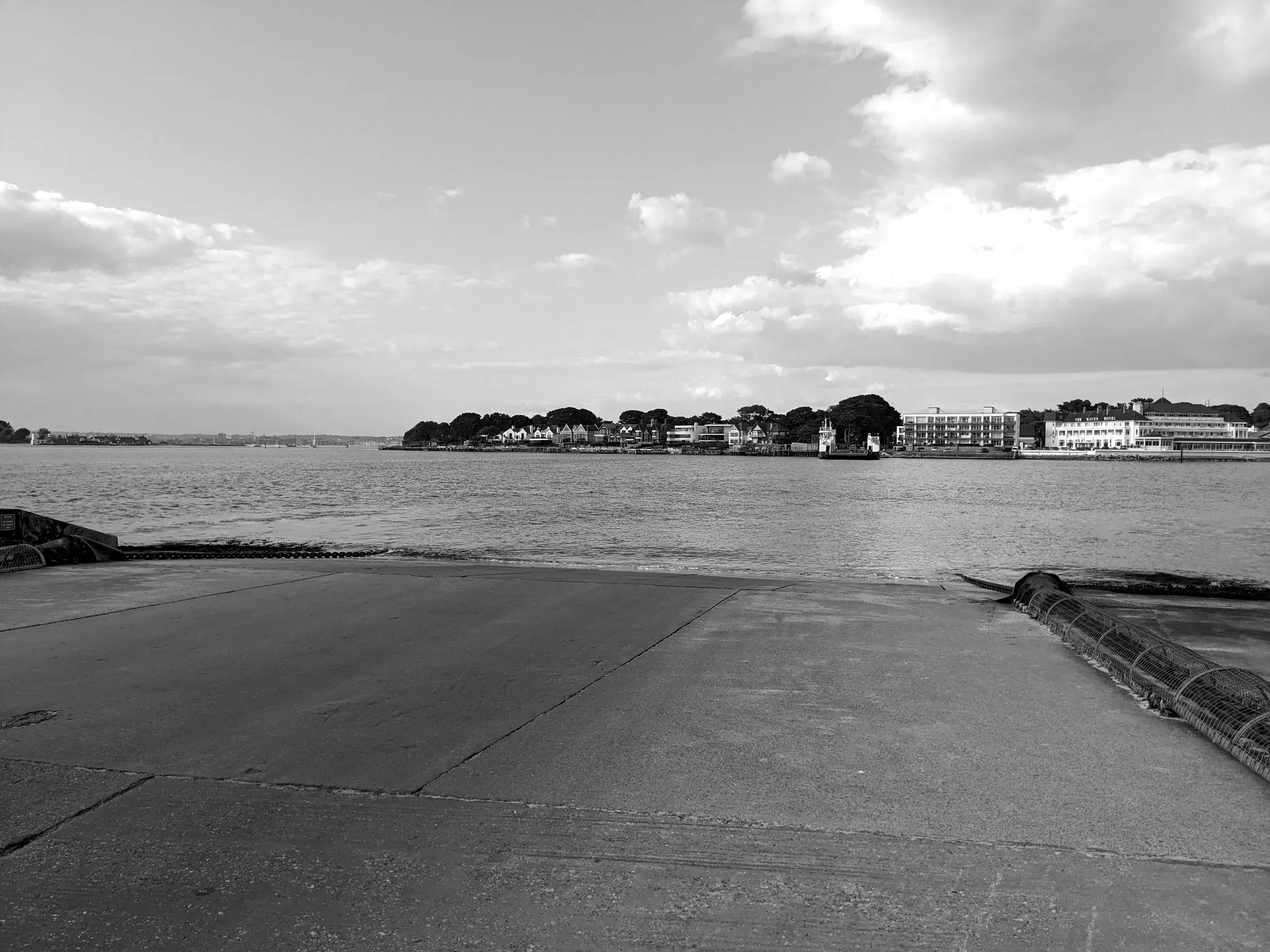
Sandbanks50.687° N · 103.6 mi
“…the view opens up towards Chesil Beach and the distant Isle of Portland and it is a stunner.”
Who it's for
01 / 08
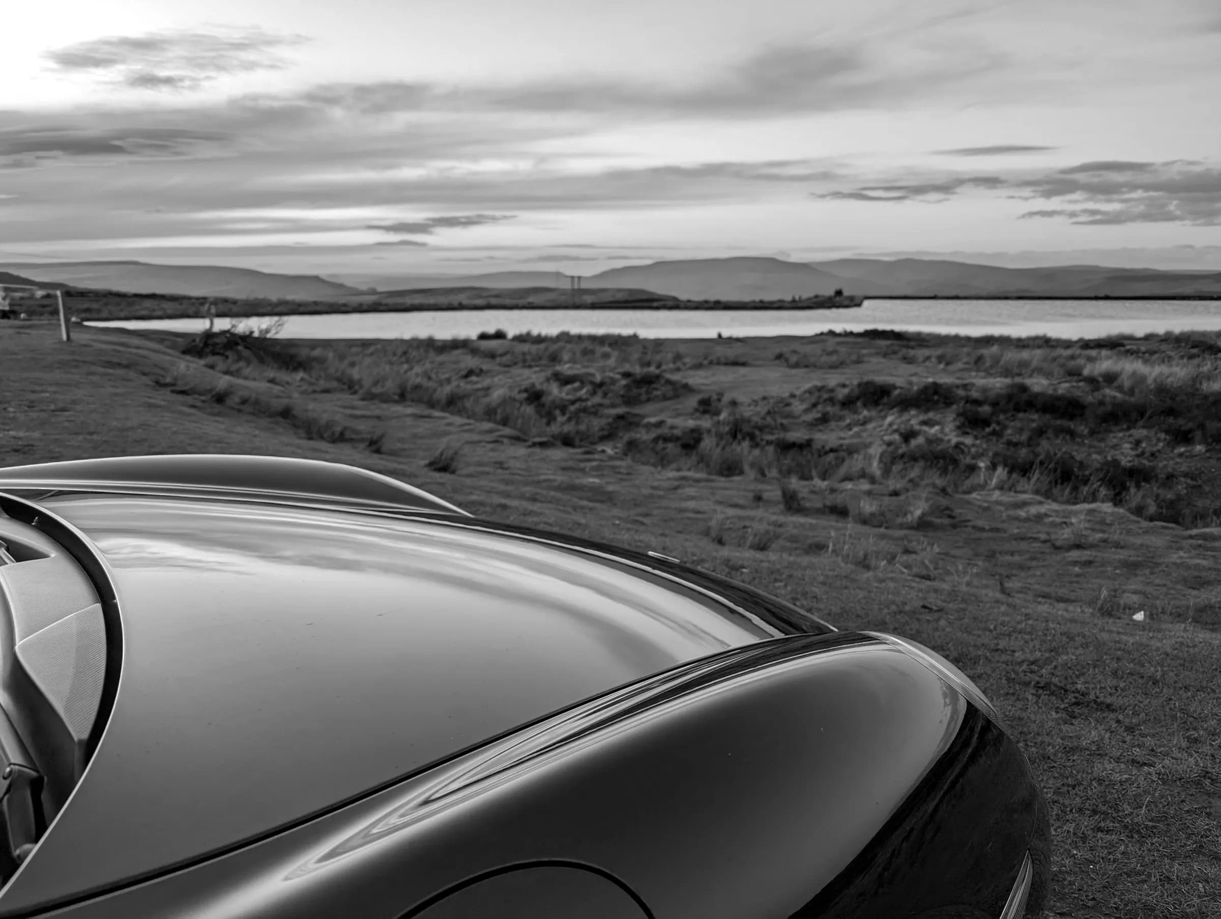
Sports cars
Out by seven, home before anyone's up.

Roadsters, Caterhams and bikes
Less between you and the road, so it had better be a good one.

Touring
Beautiful, and nothing narrower than 2.5 metres.

Learning
Passed in March. Finally going somewhere.

Classics
It's 56 years old and still does 3,000 miles a year.
Home hidden
Private
Private by default. Nobody sees where the garage is.

Clubs
150 cars. One route. Nobody lost.

Multi-day
Five days, eleven passes, one very good dinner.
Together
Run the club. Plan the run, and everyone coming has the route and the road book on their phone, signal or not. Tickets and live convoys come later.
EventComing later
Sat 18 Apr · 08:00 · Ambleside
£35 · 32 of 40 places
Get tickets66.4 mi · Back in Ambleside
66.4 miles. That loop deserves a Saturday.
Invites go out in the order people confirm. The first 999 members to publish three drives become founding members, numbered for keeps.
Find a Drive
Early invite
No. ––––
Your nameUK and Ireland · 2026
Find a Drive
Your place in the queue
Welcome aboardTake the long way


